
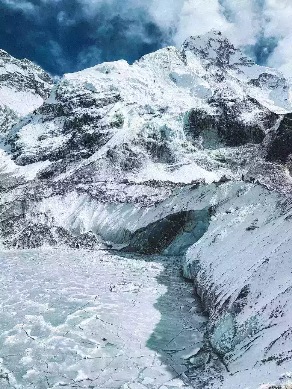
Rising temperatures likely amplified Nepal’s deadly flood by destabilizing Himalayan ice, increasing meltwater, and raising the chance of sudden slope failure. This article explains how Nepal flood climate change translates into a real disaster chain: glacier retreat, fragile moraine dams, debris-rich runoff, and monsoon-triggered collapse. The point is simple: warming does not create every flood, but it can make an existing mountain hazard faster, larger, and harder to stop.
- Warming makes glacier-fed basins more unstable.
- Flood risk rises when meltwater meets steep terrain and monsoon rain.
- Early warning and upstream monitoring matter more as cryosphere risks expand.
Why did warming matter in this flood?
In high mountains, temperature changes affect both water volume and slope stability. When glaciers retreat, they can leave behind lakes held in place by loose debris or thin ice, and those barriers can fail under pressure.
The IPCC Sixth Assessment Report states that human-caused warming is driving widespread cryosphere loss, including glacier mass decline and related hazards. That matters in Nepal because warmer conditions can turn a seasonal melt pulse into a sudden outburst or debris-laden surge.
What turns meltwater into a deadly flood?
The Himalaya is not a flat watershed. Water drops quickly through steep valleys, picks up sediment, and gains destructive force before communities have time to react.
In practice, a flood becomes lethal when three factors align: unstable ice or moraine structures, intense rainfall, and downstream exposure. Villages, roads, bridges, and hydropower corridors are all vulnerable because the flow arrives as a mixed mass of water, rock, and mud rather than clean runoff.
What evidence supports the climate link?
Researchers and mountain agencies have repeatedly documented glacier retreat across the Hindu Kush-Himalaya and the growth of glacial lakes in several basins. That pattern does not prove every single flood was caused by climate change, but it strongly supports a higher background risk.
Expert assessments also warn that warming is not linear in mountains. Small temperature increases at altitude can shift freezing levels, alter snowpack, and destabilize slopes that once stayed locked in place.
What should happen next?
Nepal needs tighter glacier-lake monitoring, basin-level hazard mapping, and upstream warning systems that can reach downstream communities fast. Infrastructure planning should assume that future flood peaks may be more sudden and more debris-heavy than historical records suggest.
The practical lesson is blunt: the safest response is to treat glacier-fed basins as live hazard zones, not remote scenery, and to build evacuation and monitoring around that reality.
Frequently Asked Questions
How can warming make a flood more dangerous without being the only cause of it?
Warming often acts as a risk multiplier rather than the single trigger. It can weaken glaciers, expand meltwater, and destabilize slopes so that normal monsoon rain or a landslide becomes much more destructive. In other words, climate change can raise the background instability of a basin even when the immediate flood is set off by weather.
Why are glacier lakes and moraine dams considered especially fragile in the Himalaya?
Glacier lakes in the Himalaya are often held back by loose rock, debris, or thin ice rather than solid bedrock. Those natural barriers can erode, crack, or collapse when pressured by meltwater, rainfall, or slope failure. Once a breach starts, the water can rush out suddenly and carry sediment, rocks, and ice downstream.
Was this Nepal flood caused by monsoon rain alone?
Monsoon rain may have triggered the event, but rain alone does not explain the scale of the damage. The article points to a chain where warming increased meltwater, weakened ice and moraine structures, and made the basin more unstable. The monsoon then acted on a landscape already primed for failure.
Why do floods coming from mountain basins often become more destructive than river floods elsewhere?
Mountain floods accelerate through steep valleys, so they arrive faster and with more force. They also pick up sediment, boulders, and debris along the way, turning into a dense destructive flow rather than relatively clean water. That makes them harder to predict, harder to block, and much more damaging to roads, bridges, and settlements.
What warning signs should communities watch for in glacier-fed basins?
Rapidly growing lakes, unusual cracks in ice or slopes, increased muddy runoff, and minor rockfalls can all indicate rising instability. Communities should also pay attention to abrupt changes in stream flow during warm spells or heavy rain. The key is not just watching water levels, but monitoring the condition of the glacier and surrounding slopes.
Why does the article stress upstream monitoring instead of only downstream evacuation plans?
Downstream evacuation is important, but it may be too late if a flood arrives suddenly from a glacier lake or slope collapse. Upstream monitoring can detect rising lake levels, ice movement, or early signs of failure before the hazard reaches villages. That extra lead time is critical in steep Himalayan terrain where warning windows can be very short.